Land Surveying

Land Surveying
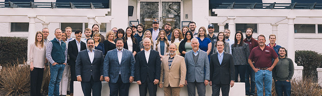
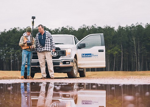
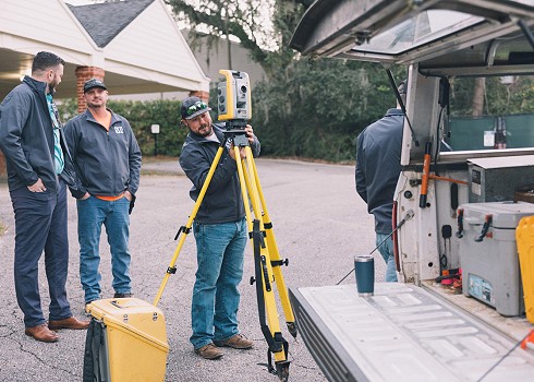
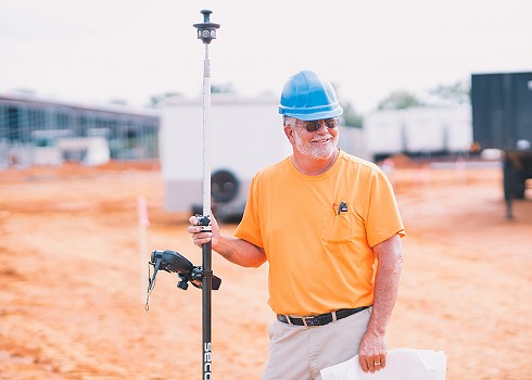
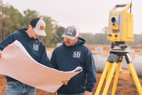
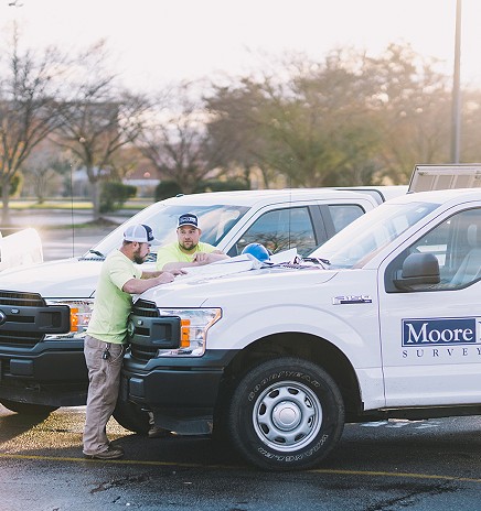
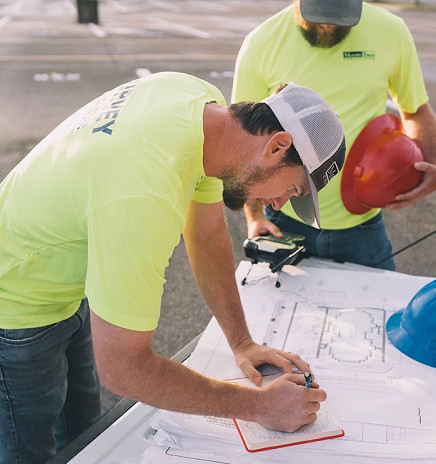
Moore Bass Consulting offers a large range of land surveying services as a part of the comprehensive land planning and civil engineering services offered to clients. Moore Bass surveyors have been serving the Tallahassee and metro Atlanta areas since 1991, resulting in a seasoned team of land survey professionals with the experience, qualifications, licensing, personnel, and equipment to meet any client’s land surveying needs. Our Tallahassee and Atlanta land survey teams provide services for both residential and commercial properties, with field crews who work to provide accurate site data in a timely, cost-efficient manner for customers.
Boundary Surveys
Boundary surveys identify and cover all the features and characteristics of a property, including identifying property lines, corners and boundaries for a parcel of land. Moore Bass survey teams can also provide ALTSA/ACSM surveys to meet the standards set by the American Land Title Survey and American Congress on Surveying and Mapping, which can provide a more comprehensive and detailed look at a property when determining boundary lines.
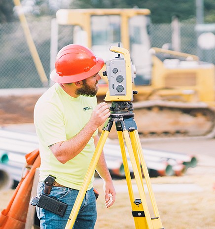
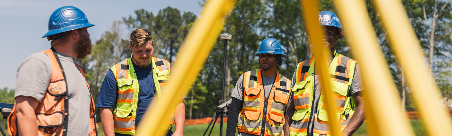
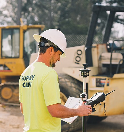
Construction Stakeout
Construction stake out and site layout services are used to provide developers and construction teams to stake out the location of proposed structures of improvements on a property before breaking ground on a project. This includes slope staking, horizontal and vertical grading. In addition to construction stakeout, monitoring surveys can be performed during the construction process to determine if a building is settling on a type of land.
As-Built Survey
Moore Bass Tallahassee and Atlanta survey crews provide support through the construction process to monitor progress as it’s occurring or once finished through an as-built survey. These construction surveys can show improvements of a property once construction is completed to obtain a certificate of occupancy.
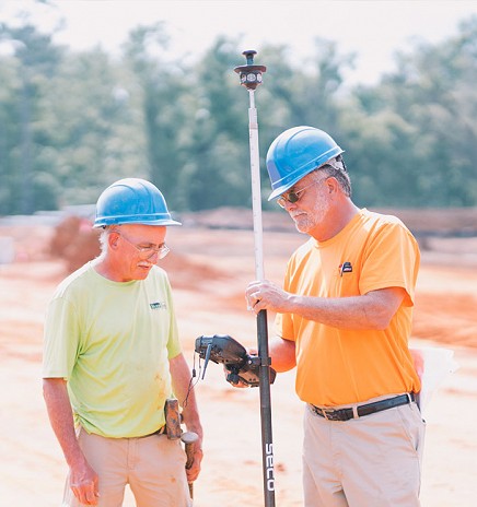
Topographic Survey & Mapping
Topographic maps and surveys are used to identify features, contour lines and elevations of site before construction. These surveys can locate topographic features that include utilities, ditches, roads, water courses, embankments and contours. Additionally, Moore Bass can coordinate and set targets for aerial photography by either drone or plane.
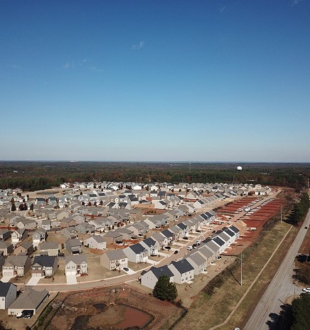
Residential Builder Services
Residential builder services and surveys are used to show the buildings, utility runs, equipment layouts and positions of roads for residential use. Foundation surveys, house and property corner flagging and final surveys may be needed to proceed with the construction process.
Flood Certification & Survey
A flood cert or flood certification on a property is often needed to obtain a building permit. Flood elevation certificates are required to get accurate flood insurance on a property.
Legal Description & Sketch
When legal documents are needed to locate a piece of real estate, a legal description and sketch describes a piece of property for sale, lease or describes an easement for utilities, drainage features, and public access. This can also update metes and bounds description from a fractional description.
Subdivision Survey
Subdivision surveys or subdivision plats help split land into smaller parcels, lots or estates. These are needed when subdividing or,consolidating parcels or making any boundary adjustments to a site plan. Plat surveys and condo surveys also help with subdivision surveys.
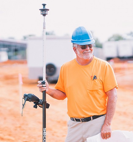
Drone & Aerial Surveying
When a different perspective is needed, Moore Bass can provide high-resolution, accurate drone maps, reports, and models as a part of the land surveying process to gather additional site data for surveying and construction crews. A licensed drone pilot can perform surveys at each job site to reduce costs and save time with each project.
Construction Inspections & Quality Control
Moore Bass offers drone services as a part of construction administration to streamline the inspection process and assure the best quality is being met on a job site. Real-time site data and reports can help conduct inspections, inspect hard to reach places, and gather data at a fraction of the cost and time. Reports are provided to show how a project progresses to ensure each project is completed to plan.
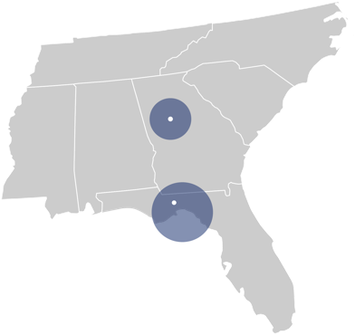
Coverage Areas
Our Tallahassee and Atlanta land surveying teams serve the following counties, though we have the capability to travel up to a 200-mile distance from each of our offices.
Atlanta:
- Henry
- Spalding
- Fayette
- Clayton
- Coweta
- Dekalb
- Newton
- Butts
- Jasper
- Rockdale
- Fulton
Tallahassee:
- Leon
- Gadsden
- Jefferson
- Madison
- Frankin
- Wakulla
- Gulf
- Liberty
- Columbia
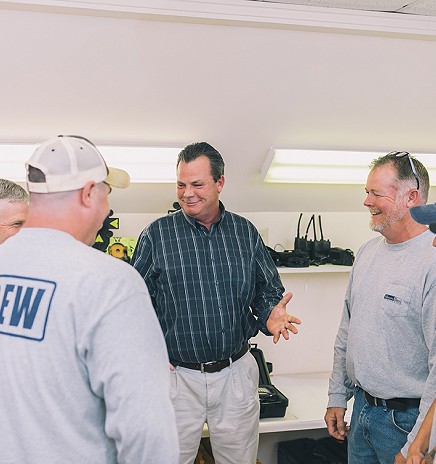
Client Information: